
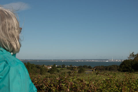
The Barnsley Trail is a circular walk of just over 5km, that takes in the wonderful countryside and beaches of the Parish of Nettlestone and Seaview. It was devised by Alan Hersey a former Isle of Wight and Parish Councillor and keen naturalist
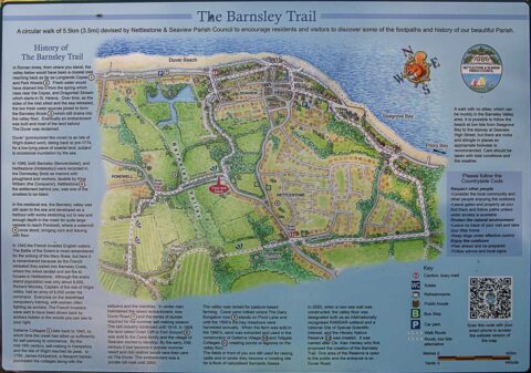
For many years after the trail was first created a large wooden interpretation board stood at the top of Nettlestone Hill with a map of the walk. Sadly, over time, the board weathered and eventually all that remained was part of the wooden stand.
Now, a group of local volunteers working with illustrator Alan Rowe and with financial support from Nettlestone and Seaview Parish Council have created a new board. It includes a colourful map, valuable historical information about the area surrounding the walk and has new features including a QR code so the whole trail can be downloaded onto a smartphone.
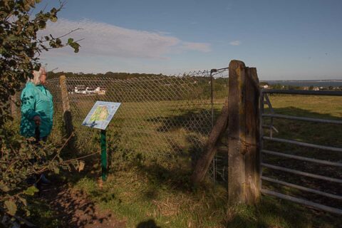
Printed onto aluminium the new board will withstand the elements for many years to come and is positioned in exactly the same place as the original board.
Cllr Barry Elliot, chair of Nettlestone and Seaview Parish Council said,
‘We would like to encourage residents and visitors alike to come to the Parish and walk the Barnsley Trail ‘.